World Map and Continents

13th September 2024
The Year 1 children have embarked on an exciting journey as they explore the fascinating world of maps and continents. They began by learning the basics, such as aerial and street views, which helped them understand different perspectives when looking at maps — whether from above or at ground level. They particularly enjoyed identifying how a bird’s-eye view differs from what they see while walking down the street, and loved using Google Earth to explore various locations.
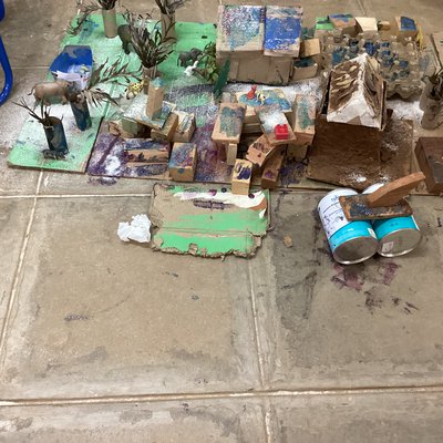
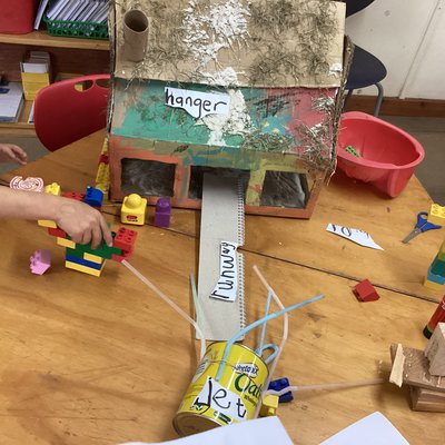
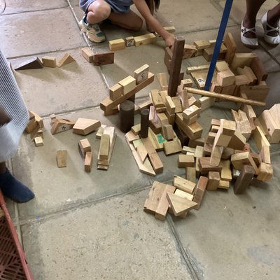
The children displayed great enthusiasm and creativity when making their own maps. Using materials such as wooden blocks, cardboard, LEGO and recycled items, they constructed small-scale representations of estates, farms, airports and imaginative places.
They were also thrilled to use the school map to locate different areas, which further reinforced their understanding of how maps work, while promoting teamwork and problem-solving.
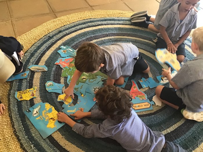
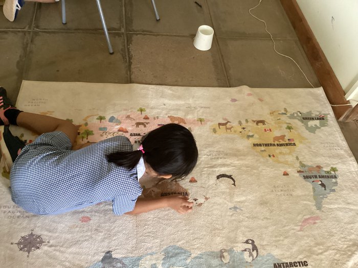
As part of their global learning, the children were introduced to the seven continents and enjoyed completing puzzles to identify them. The excitement continues to grow as we explore more of the world together.